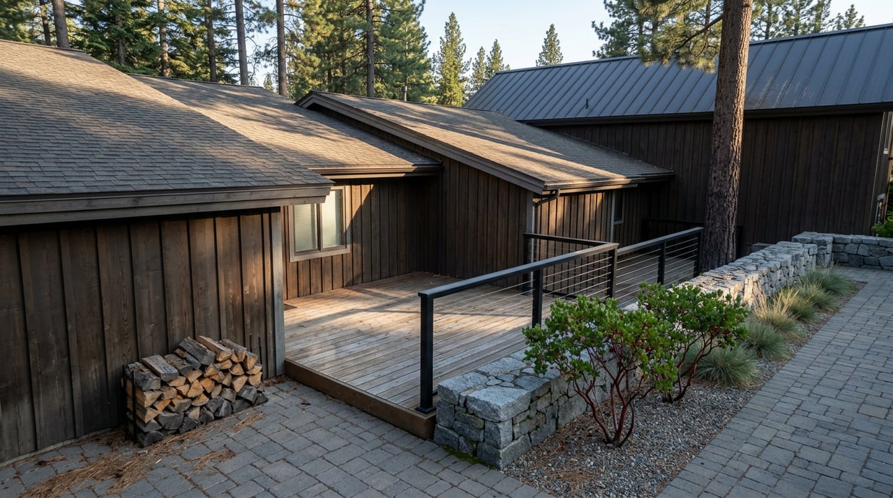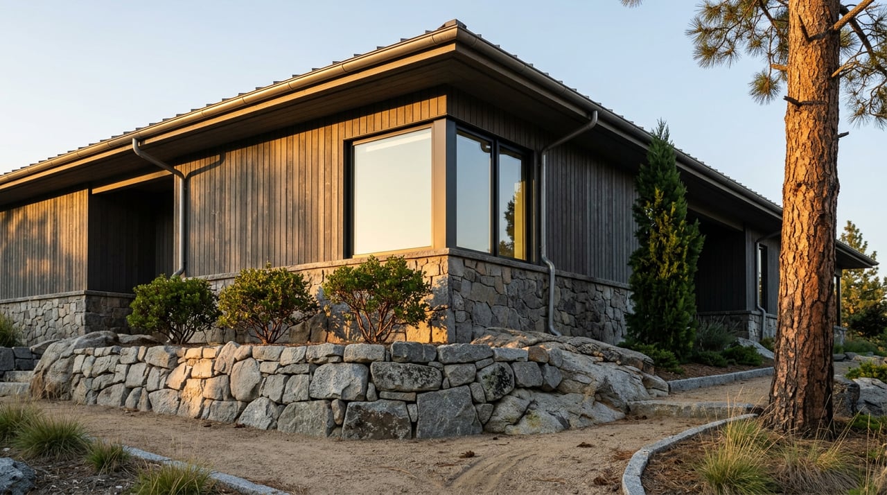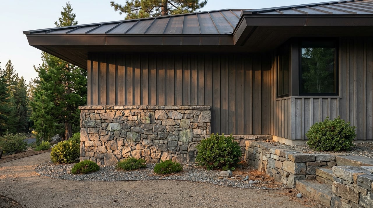
Two lots on the same stretch of West Lake Boulevard, both a third of an acre, both a few hundred feet from the water. A buyer touring them side by side would guess they're interchangeable. They are not. One can absorb a 400-square-foot addition and a new deck. The other is already maxed out, and the owner would need to buy coverage from somewhere else in the basin just to build a shed.
Nothing about that gap shows up on a walk-through. It isn't the soil color, the slope, or the trees. It's a number assigned decades ago by a field team with a soil auger, and on the West Shore that number does more to set a property's ceiling than square footage, view, or even list price.
The score hiding in the soil
Every parcel in the Lake Tahoe Basin carries a land capability rating that caps how much of it can ever be covered by a roof, deck, driveway, or any other surface that keeps rain from soaking into the ground. The Tahoe Regional Planning Agency uses two systems to assign that rating, depending on when the property was developed. Homes built before July 1, 1987 are scored under the older Bailey system, based on USDA soil maps from the early 1970s. Vacant land evaluated since 1987 gets an Individual Parcel Evaluation System score, or IPES, which comes from an actual site visit. A soils scientist, a hydrologist, and a planner dig a small pit, study the profile, and rank the parcel's suitability for development against every other vacant lot in its jurisdiction.
Depending on that ranking, a property might be allowed to cover as little as 1 percent of its land or as much as 30 percent. That range is the whole story of why West Shore renovation budgets vary so wildly for houses that look similar from the street. A cabin sitting on a low-scoring, sensitive parcel may already be at its coverage limit. Add a garage, and the owner isn't just hiring a contractor. They're entering a regulatory transaction.
Here's the detail that makes the West Shore specifically different from the rest of the basin. To be declared buildable at all, a vacant IPES-scored lot has to clear a minimum threshold, and that threshold depends on which county the property sits in.
| Jurisdiction | Minimum IPES score to be considered buildable |
|---|---|
| Placer County (Homewood, Tahoma, Sunnyside, Tahoe City) | 691 or higher |
| City of South Lake Tahoe | 1 or higher |
| El Dorado County | 1 or higher |
| Douglas County, NV | 1 or higher |
| Washoe County, NV | 1 or higher |
Placer County's bar sits far above every other jurisdiction in the basin. A vacant parcel on the South Shore or in Douglas County can clear the buildability line with almost any score above zero. On the West Shore, a lot has to score in the top tier of environmental suitability before TRPA will call it buildable at all. That single difference explains a pattern any West Shore buyer's agent will confirm anecdotally: the inventory here skews heavily toward existing 1960s and 1970s cabins rather than empty land, because so much of the vacant ground never cleared the Placer County bar in the first place. When it did clear, someone already built on it.
Why Homewood is the live test case right now
This regulatory backdrop matters more on the West Shore this year than it has in a while, because Homewood is in the middle of the most visible development story on that side of the lake. The TRPA Governing Board approved a new master plan for Homewood Mountain Resort in January 2025, closing out a multi-year fight over whether the resort would stay open to the public. The approved plan repositioned the gondola base terminal, opened view corridors, and trimmed the building massing and residential density from earlier proposals.
The resort closed out its 2025-26 winter season on March 17, 2026, and the construction crews didn't leave. Work on a new eight-passenger gondola, replacing the aging Madden lift, got underway that summer with a target of running by the 2026-27 ski season. The resort also retired its old two-peaks logo for a new mark showing two bears on a single ski, which locals have noticed even if they haven't parsed the branding logic behind it.
None of that is a permitting footnote. It's a live example of how TRPA's coverage and density rules get negotiated on a specific West Shore parcel, in public, with a coalition of residents pushing back on density the whole way. Anyone buying nearby is buying into a stretch of shoreline where the rules governing what can be built are actively being tested and renegotiated, not settled decades ago and forgotten.
There's a second thread worth watching for the same reason. TRPA has been discussing a change to how coverage transfers between properties. Under the current rule, coverage can only move within defined hydrologic zones, so an owner in a coverage-scarce area can't simply buy unused coverage from a property across the basin, even if that property sits on the exact same lake. Homewood has been specifically named as an area where local coverage is essentially unavailable under the existing zone restrictions. If TRPA adopts a broader basin-wide transfer policy, previously landlocked Homewood parcels could suddenly have a path to more buildable coverage than they've had in years. That proposal has not been adopted as of this writing. It's under active discussion, not law, and anyone weighing a West Shore purchase on the assumption it will pass should treat that as a possibility to monitor, not a fact to bank on.
What actually happens at the closing table
Coverage and IPES scores govern what a property can become. A separate TRPA requirement, the Best Management Practices program, governs what a property has to do right now to keep functioning as a compliant parcel, and it shows up directly in the sale process.
Every developed property in the Tahoe region is required to install and maintain BMPs, the physical systems that capture and infiltrate stormwater before it can carry sediment into the lake. These aren't exotic installations. They're roof gutters routed to gravel infiltration trenches, rain gardens, and graded drainage that keeps runoff on the owner's own lot instead of sending it downhill toward the shoreline. Once a property meets the standard, TRPA issues a BMP Certificate, and that certificate stays valid only as long as the systems are actually maintained.
At the point of sale, TRPA requires the seller to disclose the property's BMP status to the buyer and to submit a real estate disclosure form within 30 days of closing. Compliance deadlines for properties that were already developed expired back in 2008, so an owner who never installed BMPs is technically out of compliance today and could be subject to enforcement. That's a detail worth surfacing early in any West Shore transaction rather than discovering it during the final walkthrough.
A short due diligence list for anyone getting serious about a West Shore property:
- Confirm the parcel's IPES or Bailey score and its current coverage usage before writing an offer that depends on adding square footage.
- Ask whether the property has an active BMP Certificate, and if not, budget for the retrofit rather than assuming it's optional.
- If the plan involves expanding beyond existing coverage, find out whether coverage is actually available to purchase in that hydrologic zone today, not under a policy that hasn't passed yet.
- Get the seller's TRPA disclosure form early in escrow instead of waiting for the standard 30-day window to force the issue.
Back to the two lots on the same road
That gap between the two similar-looking parcels isn't a fluke. It's the entire West Shore market compressed into two driveways. One lot's soil scored high enough decades ago to earn generous coverage. The other didn't, and no amount of curb appeal changes that number. Buyers who only compare square footage and list price are pricing the view. Buyers who ask for the coverage report and the BMP status are pricing the property.
If you're looking at land or an older cabin anywhere between Sunnyside and Meeks Bay and want a clear read on what a specific parcel can actually become, not just what it looks like today, that's exactly the kind of diligence Frick n' Blazer Group does before an offer goes in. Schedule a Private Tahoe Consultation and we'll walk the coverage math with you before you're locked into a contingency clock.